01 · Collect · Product preview
Field data collection that doesn’t need a signal.
EcoPlot Mobile turns ecological protocols into a focused phone-and-tablet workflow, stores observations offline, and syncs them to a private hosted database when a connection returns.
The problem
A good field method can still create a bad data trail.
Paper forms and general-purpose spreadsheets leave too much protocol knowledge in people’s heads. Species codes drift, required fields are skipped, and the office often discovers a problem after the crew has left the site.
Field tools also have to work in the exact places where cell service does not. A dependable workflow cannot make connectivity a prerequisite for collecting a record.
The solution
Put the protocol inside the collection experience.
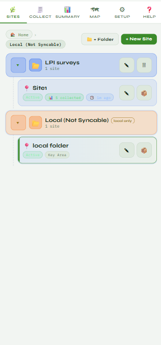
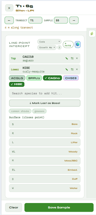
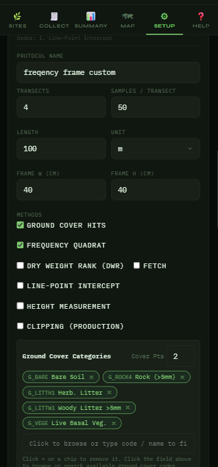
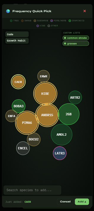
EcoPlot guides the crew through configured methods such as line-point intercept, point ground cover, nested frequency, and protected-plant inventory. Species lists, validation, GPS context, and required observations sit beside the work instead of in a separate manual.
Once records sync, office users review maps and trends, filter the data inventory, and export clean CSV files without reopening the field interface.
Defensible proof
The demos show the workflow on sample data.
EcoPlot is still in development, so this page does not claim a production outcome. The live marketing demos make the current interaction testable: add protected plants and build an AZDA fee total, collect frequency hits, or use the read-only office portal to explore maps, trends, and CSV exports.
Technical details
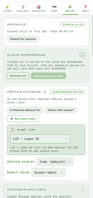
EcoPlot is built as a progressive web app on Azure Static Web Apps with a managed SQL backend. Production deployments are designed around per-workspace access, an isolated client database, offline local storage, and synchronization when the device reconnects.
The protected-plant and office-portal demos use sample data and do not require a login. They demonstrate the experience; they are not evidence of a completed client deployment.